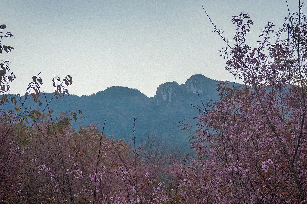
Doi Inthanon landscape
Thailand · Southeast Asian Highlands

Best time to hike Doi Inthanon

Selected representative ERA5-Land grid cell at about 1,259 m; not a claim about every route across the region.

Plan with real conditions

Compare the hiking year

Start with these months

The existing model's best months. Compare the conditions below before choosing a route.

Swipe sideways to compare all conditions →

Historical climate conditions, not a forecast. Months without a recommendation are not linked to a hiking recommendation page.
MonthHiking-hour temperatureWet days per monthDays with modelled snowDaylightSeason guide
January →19.9°C≈ 3.40%11 h 12 minBest month
February →22.2°C≈ 2.50%11 h 30 minBest month
March →25.2°C≈ 4.70%12 h 00 minView month
April26.3°C≈ 11.90%12 h 36 minNo recommendation
May →24.4°C≈ 25.10%13 h 00 minView month
June →23.0°C≈ 28.60%13 h 12 minView month
July →22.4°C≈ 29.90%13 h 06 minView month
August →22.2°C≈ 30.10%12 h 42 minView month
September →22.3°C≈ 28.30%12 h 12 minView month
October →21.9°C≈ 20.30%11 h 42 minView month
November →21.0°C≈ 8.20%11 h 18 minView month
December →19.5°C≈ 4.20%11 h 00 minBest month

What these numbers describe

Historical climate at one selected model cell. Higher routes, sheltered valleys and exposed ridges can differ substantially.

Model elevation: 1,259 m · Historical period: 1991–2025

Trail wind is not available here. This model does not resolve exposed ridges or gusts; check a local mountain forecast.

How to read these figures

Selected cell: 18.6, 98.5

Temperature sampling window (local time, limited to daylight): 08:00–18:00.

A wet day has at least 1 mm of total precipitation (including snow water equivalent). It may rain for only part of the day.

A snow day meets either model threshold: 10% snow cover or 2 cm snow depth.

Turn the climate into a trip

Choose a specific route and check its distance, ascent, difficulty, current access and forecast. These are not supplied by the climate model.
Elevation view

One reproducible reference point

The monthly value represents the selected representative ERA5-Land grid cell. It deliberately does not pretend to describe every route across the region.

18.6, 98.5 · 1,259 m

representative1,209–1,310 m100% weight
Months we do not recommend

1 month does not clear the gate

The record for these months is complete. They carry no hiking score because at least one critical component is at or below 20, and we would rather say so here than publish a weak recommendation.

Similar alternatives

Keep exploring

Doi Inthanon through the year

Doi Inthanon sits at about 1,259.3 metres and has no closed hiking season. In all 11 scored months, temperature, rainfall and snow stay inside the limits at which we withhold a recommendation. Temperature moves 6.8 degrees across the year, from 20 in December to 26 in April.

How the months differ

Although the whole year clears the recommendation gate, the months are not interchangeable. Rain falls on about 9 percent of days in February, compared with 97 percent in August. Hikers prioritising drier conditions should start with February, then compare its temperature with April.

Why April are missing

In April the hiking-window temperature reaches 26 degrees. We withhold April because sustained heat makes a walk a question of time of day and water, rather than of season.

Conditions in January

The strongest scored month is January: about 20 degrees in the hiking window, rain on 11 percent of days, and 11 hours of daylight.

What these figures cover

Every figure comes from one selected ERA5-Land model grid cell at 18.60, 98.50, 1,259.3 metres, averaged over 1991 to 2025. It describes that point rather than every route in the region, and it is not a forecast. Wind is coarse 10 metre grid wind, not a statement about exposed paths or gusts.

Quick answers

Questions about Doi Inthanon

When should you hike Doi Inthanon?
11 of twelve months clear our criteria, and January scores highest.
Why are some months not recommended?
In 1 months at least one critical component falls below the threshold, most often heatStress.
What do these figures describe?
One selected ERA5-Land model grid cell at 1259.3 metres, averaged over 1991 to 2025. It is not a forecast and not a statement about individual trails.
Guided experiences

Tours and activities around Doi Inthanon

Add a guided walk, a boat trip or a local experience after checking that the climate fits your plans.

Find a baseDoi Inthanon landscape
Find a base

Where to stay around Doi Inthanon

Choose a practical base for your hiking days. Compare current availability, prices and cancellation terms on Booking.com.

Booking.comFind places to stayCheck the date, meeting point, difficulty, inclusions, trail access and cancellation terms before booking.

Affiliate disclosure: if you book through a labelled link, we may earn a commission at no extra cost to you.