Larapinta vs Lofotodden: hiking weather compared
Larapinta and Lofotodden both score 90, yet temperature, rain, humidity and daylight describe very different July and August hiking climates.
6 min read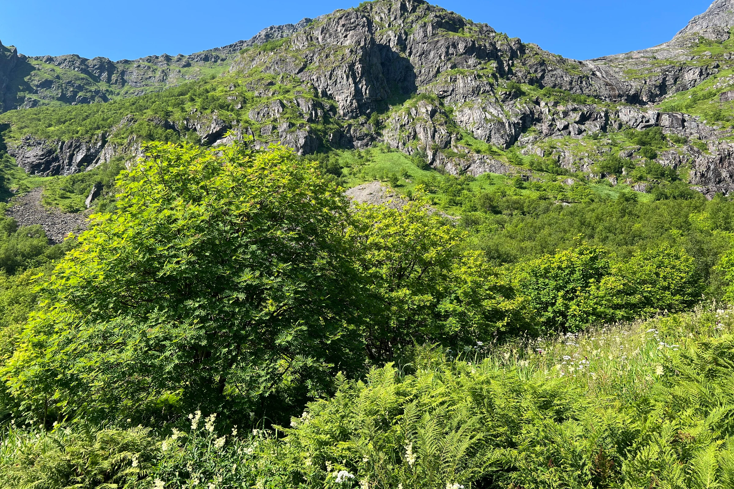
“A shared score is a starting point, not a shared climate.”
| Record | Mean | Wet days | Daylight | Humidity |
|---|---|---|---|---|
| Larapinta · August | 19.2 °C | 2.40% | 11.3 h | 28.0% |
| Lofotodden · July | 11.7 °C | 35.39% | 22.7 h | 81.7% |
Both records clear the published recommendation gate and both receive an overall score of 90. On a ranking page they therefore appear to offer the same strength of answer. Yet the number compresses several questions into one line: how warm the sampled walking hours were, how often a full day crossed the rain threshold, whether snow or heat became limiting, and how much daylight was available. It is a useful sorting device, but not a physical unit and not a promise that two days will feel alike. Larapinta and Lofotodden make that limitation unusually visible because their shared score survives alongside large differences in almost every raw metric a walker would notice. Reading the pair is less about choosing a winner than learning what must happen after a score catches your attention. Open the month, inspect the variables, and decide which trade-off belongs in your trip rather than assuming that two 90s describe the same experience.
The same number can contain a different day
Larapinta's August cell is warmer and much drier: a 19.2 °C hiking-window mean, wet days on 2.40 percent of valid dates and 3.6 mm of mean monthly precipitation. Its central temperature spread runs from 11.3 to 27.0 °C, so the mean does not erase the possibility of cool starts or warm afternoons. Lofotodden's July cell is cooler and markedly wetter: 11.7 °C, 35.39 percent wet days and 53.1 mm, with a much tighter 9.3 to 14.7 °C central spread. The wet-day difference is 32.99 percentage points and the rainfall-total difference is 49.5 mm. Those are related but distinct clues: frequency says how often the threshold was crossed, while the total says how much accumulated across the month. The contrast is not an error in the score. The weighted components can arrive at the same rounded result through different combinations. That is precisely why the ranking number should trigger a closer reading rather than replace one.
Choose the climate profile, not just the rank
A traveller trying to minimise historical rain frequency would naturally investigate Larapinta first. A traveller building a long photographic day around northern summer light might be drawn to Lofotodden's 22.7-hour mean daylight, more than eleven hours beyond Larapinta's 11.3. Relative humidity adds another distinction: 28.0 percent at the Larapinta cell and 81.7 percent at Lofotodden. That figure describes the sampled air, not personal comfort, dehydration risk or how quickly a path dries. Even so, it tells the reader that the same score sits inside a dry continental profile on one side and a cool maritime profile on the other. Clothing, water, start time and tolerance for damp conditions would therefore enter the two planning conversations differently. None of those choices can be settled by the historical model alone. The data narrows the question to a meaningful trade-off; current forecasts, official access information and the actual route must complete the decision.
The useful question is therefore not which 90 is better in the abstract. Ask instead what the trip cannot compromise on. If low historical rain frequency matters most, inspect Larapinta's annual profile and then check the August forecast and local guidance. If cool air and exceptional summer light are part of the appeal, open Lofotodden and decide whether its wetter record fits your equipment and plans. In either case, keep the score in its proper role: it compares eligible historical climate records under one configured method. It does not know the chosen trail, exposure, surface, transport, fitness or forecast. Wind is especially important not to infer from the number because grid-cell wind contributes zero to the score and is not validated for exposed ridges or gusts. Once those boundaries are clear, the two 90s become more useful, not less. They turn one apparently simple ranking into two specific, answerable planning questions.