Best time to hike Morocco: Atlas, Rif and Anti-Atlas
Compare Morocco’s Atlas, M'Goun, Rif and Anti-Atlas hiking seasons using 1991–2025 temperature, rain, snow and heat data.
8 min read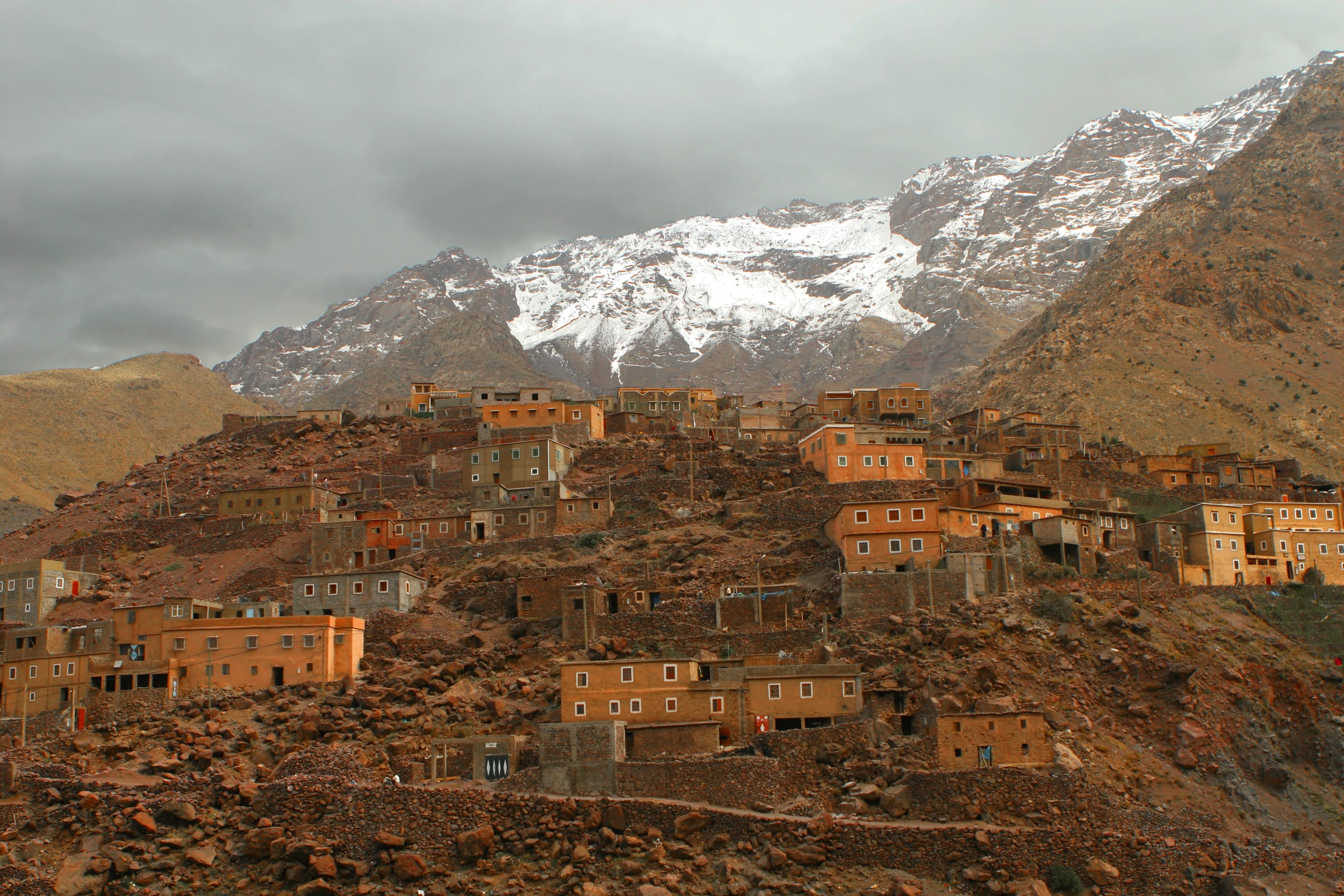
The best time to hike Morocco is not one national shoulder season. The public 1991–2025 dataset represents the Atlas Mountains at 2,822.7 metres and M'Goun at 2,800.3 metres, then drops to 1,454.0 metres in the Anti-Atlas and 1,133.2 metres in the Rif. That height difference reverses the main planning problem. In winter, the high cells are cold and carry frequent modelled snow-day signals while the Anti-Atlas remains comparatively mild. In July, the high Atlas cells average about 22 °C and pass the project's climate gate, but the lower Anti-Atlas and Rif records fail because hot-day probability exceeds the critical limit. A search for one best month therefore needs a second question: which mountain range and approximate elevation?
| Range | Model elevation | Temperature | Hot days | Wet days | Gate |
|---|---|---|---|---|---|
| Atlas Mountains | 2,822.7 m | 22.0 °C | 1.47% | 14.65% | Pass |
| M'Goun | 2,800.3 m | 22.1 °C | 0.55% | 22.12% | Pass |
| Anti-Atlas | 1,454.0 m | 30.3 °C | 94.10% | 15.58% | Fail |
| Rif | 1,133.2 m | 26.8 °C | 67.10% | 2.67% | Fail |
Spring creates the broadest shared climate window
April is the clearest all-range compromise in these records. Mean temperatures are 10.1 °C in the Atlas Mountains, 10.0 °C at M'Goun, 17.8 °C in the Anti-Atlas and 14.4 °C in the Rif. All four pass. The higher cells still show 6.76 and 9.43 percent modelled snow days, so a monthly pass is not a declaration that a particular high route is clear. Rain also differs. The Rif reaches 77.4 mm and 34.76 percent wet days, roughly double the wet-day frequency of the Anti-Atlas at 14.48 percent. April offers overlap, not identical conditions. It is most useful for a mixed itinerary where moderate lower-range temperatures matter and current high-level snow can be checked separately.
“In Morocco, choosing the range is part of choosing the month.”
- WinterBegin with the Anti-AtlasJanuary averages 10.9 °C with 11.43% wet days. Atlas and M'Goun average 3.7 and 2.7 °C, with 32.63% and 39.54% snow-day signals.
- SpringWiden the choiceEvery record passes from March through May; April avoids the strongest high-level winter signal and the lower-range summer heat failures.
- SummerMove higherAtlas and M'Goun pass in June, July and August. Anti-Atlas fails all three; Rif fails July and August.
- AutumnLower ranges reopenAll four pass from September. Anti-Atlas reaches score 91 in November, while snow-day signals rise again above 12% in the high cells.
May, June and September solve different trips
May is the safer first shortlist for an itinerary that mixes high and low terrain. The four records all pass, and their best-month lists include May for Atlas, Anti-Atlas and Rif. June is more specialised. Atlas reaches 18.4 °C, 20.86 percent wet days and no modelled snow days; M'Goun reaches 18.5 °C, 26.10 percent wet days and the same zero snow-day signal. The Rif remains eligible at 22.5 °C, but hot-day probability has risen to 17.81 percent. Anti-Atlas is already ineligible at 25.4 °C because hot-day probability reaches 56.48 percent. September reopens every record, though the lower terrain is not yet fully cool. Anti-Atlas averages 24.2 °C with 48.00 percent hot days, only just below the critical boundary, while Atlas and M'Goun are near 16.5 °C. November favours a lower itinerary again: Anti-Atlas reaches score 91 at 15.1 °C, whereas the high cells cool below 8 °C and their snow-day signals rise to 12.86 and 20.95 percent. The practical choice is not the highest score in a national table. It is the month whose elevation profile resembles the planned route.